Archival Significance
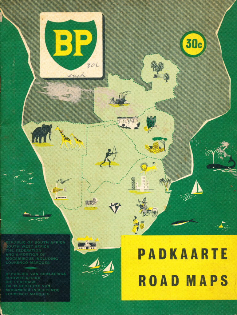
A bilingual (Afrikaans/English) promotional road atlas distributed by British Petroleum, covering the Republic of South Africa, South West Africa, and the Federation of Rhodesia and Nyasaland, reflecting the integrated regional motoring market that existed across these territories in the mid-1950s.
Institutional Context
Published by BP, printed by Gavin and Sales (Pty) Ltd, Cape Town, part of the wider genre of oil-company-sponsored motoring literature common to the period.
Content Summary
Provides road maps covering the Federation and neighbouring South African territories for motorists.
Research Utility
Useful for researchers of regional transport infrastructure and motoring culture in 1950s Southern Africa, and of corporate promotional publishing across the region’s territorial boundaries.
Abantu Archives Note
Held in-house.
From the archive
Connections
Loading connections…