Archival Significance
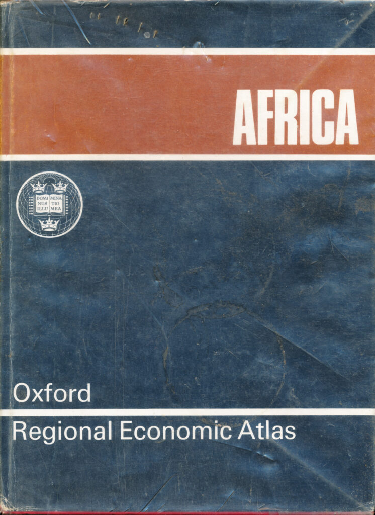
Billed as the first atlas to treat the entire African continent extensively within the Oxford Regional Economic Atlas series, which had previously covered the Middle East and North Africa and the USSR and Eastern Europe, this is a landmark reference work for continent-wide economic geography in the mid-1960s.
Institutional Context
Produced by the Clarendon Press’s Cartographic Department at a moment when the majority of African states had only just gained independence, making its economic and topographic data a snapshot of the continent at the hinge point of decolonisation.
Content Summary
43 pages of topographical maps followed by 69 pages of continent-wide thematic maps at 1:25 million scale, covering subjects from solid geology to locust distribution, a gazetteer of roughly 18,000 entries, and an economic commentary text by Ady.
Research Utility
A significant reference source for comparative African economic geography in the immediate post-independence period, its continent-wide rather than country-specific scale makes it most useful for comparative rather than Rhodesia and Zimbabwe-specific research.
Abantu Archives Note
Held in-house. Catalogued under Africa given its explicitly pan-continental scope.
From the archive
Connections
Loading connections…